
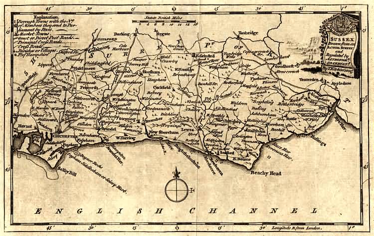
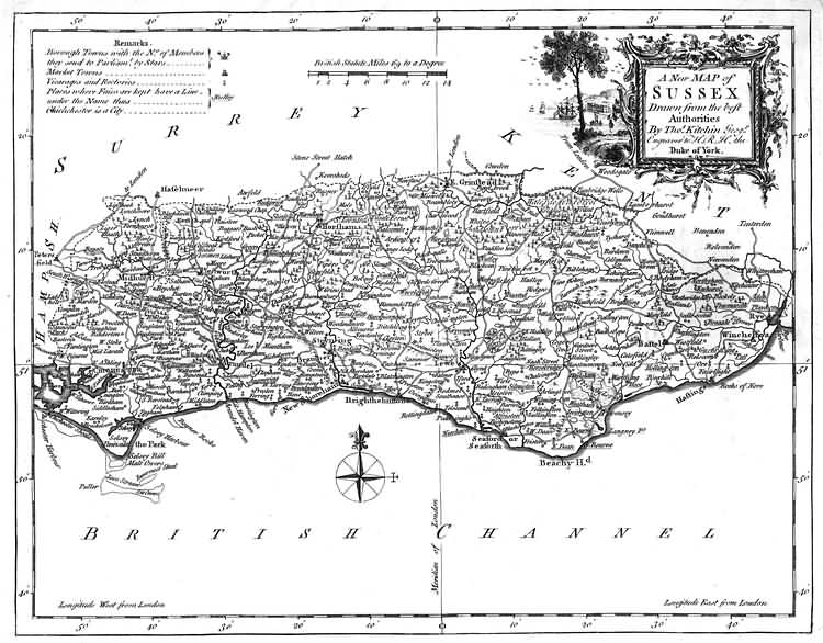
| Thomas Kitchin |
| Thomas Kitchin, an engraver and publisher from c.1738 to 1776, held the appointment of Hydrographer to the King. His output was prolific. He engraved the maps of the British and French dominions in North America by John Mitchell (1755), which was used at the peace coucil at the end of the revolutionary war. In his later years he worked with his son (hence senior after his name in the c.1755 edition of the Small English Atlas). He died in 1784. |
| for more information refer to Printed Maps of Sussex, 1575-1900 by D. Kingsley, published by the Sussex Record Society |
| and visit Old Sussex Mapped: Two centuries of Sussex County Maps researched by the Department of Geography, University of Portsmouth, UK. |
  |
The Weald is at Database version 14.05 which has ongoing updates to the 395,000 people; 9,000 places; 613 maps; 3,308 pictures, engravings and photographs; and 248 books loaded in the previous version


